Drone Software Workflow Simplifies Tying Site Maps to Aerial Images
- By Dian Schaffhauser
- 09/14/17
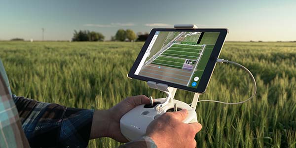
A drone software company has released a new self-service workflow program to simplify facilities survey work on college campuses and within school districts. The new service offered by DroneDeploy is intended to be used on construction projects to achieve "centimeter-level accuracy" in site measurements for monitoring site changes over time and comparing site conditions to design plans. The service will typically be used by the architecture, engineering or construction firm hired by the school.
DroneDeploy already produces a mobile application for flight planning and flight control to fly drones through a pattern of waypoints and trigger on-board cameras to capture high-resolution aerial imagery. The company also makes Map Engine, an image processing service that collects all the imagery captured by the drone and blends it into mosaic and 3D model images with geo-referencing.
The new technology works with "ground control points" (GCPs), described as large visible targets that are spaced throughout a mapped area with locations that are precise and already known and usually measured with highly accurate ground-based GPS equipment. GCP processing links those precise locations to the targets visible in the aerial images to align the map.
Previously, according to the company, that alignment process has been the most "complex and time-consuming" aspect of generating accurate drone maps. People who needed the maps would either have to pay a service firm to do the processing or enter a steep learning curve to figure it out for themselves.
With the new workflow, DroneDeploy users can tie the ground control data into a map in about 20 minutes, by using an interface that's "highly" automated and provides prompts for what needs to be done next.
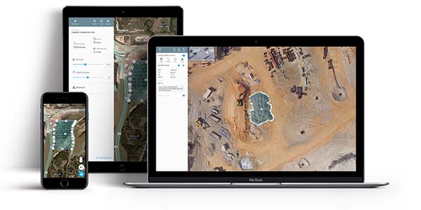
"Assisting our users in tying in ground control data will save them time and make the process of generating maps with ground truth simple and faster than ever before," said Nicholas Pilkinton, co-founder and chief technology officer at the company. "We're excited to take this first step toward making survey grade accuracy achievable on any map, for any user."
Self-serve GCP processing is available for $49 per map to users on DroneDeploy's business plan; unlimited access is available to enterprise customers.
DroneDeploy's products have been used at the University of Texas Dallas to perform thermal inspections of roofs and at Alabama's Auburn High School during construction of the new campus.
About the Author
Dian Schaffhauser is a former senior contributing editor for 1105 Media's education publications THE Journal, Campus Technology and Spaces4Learning.